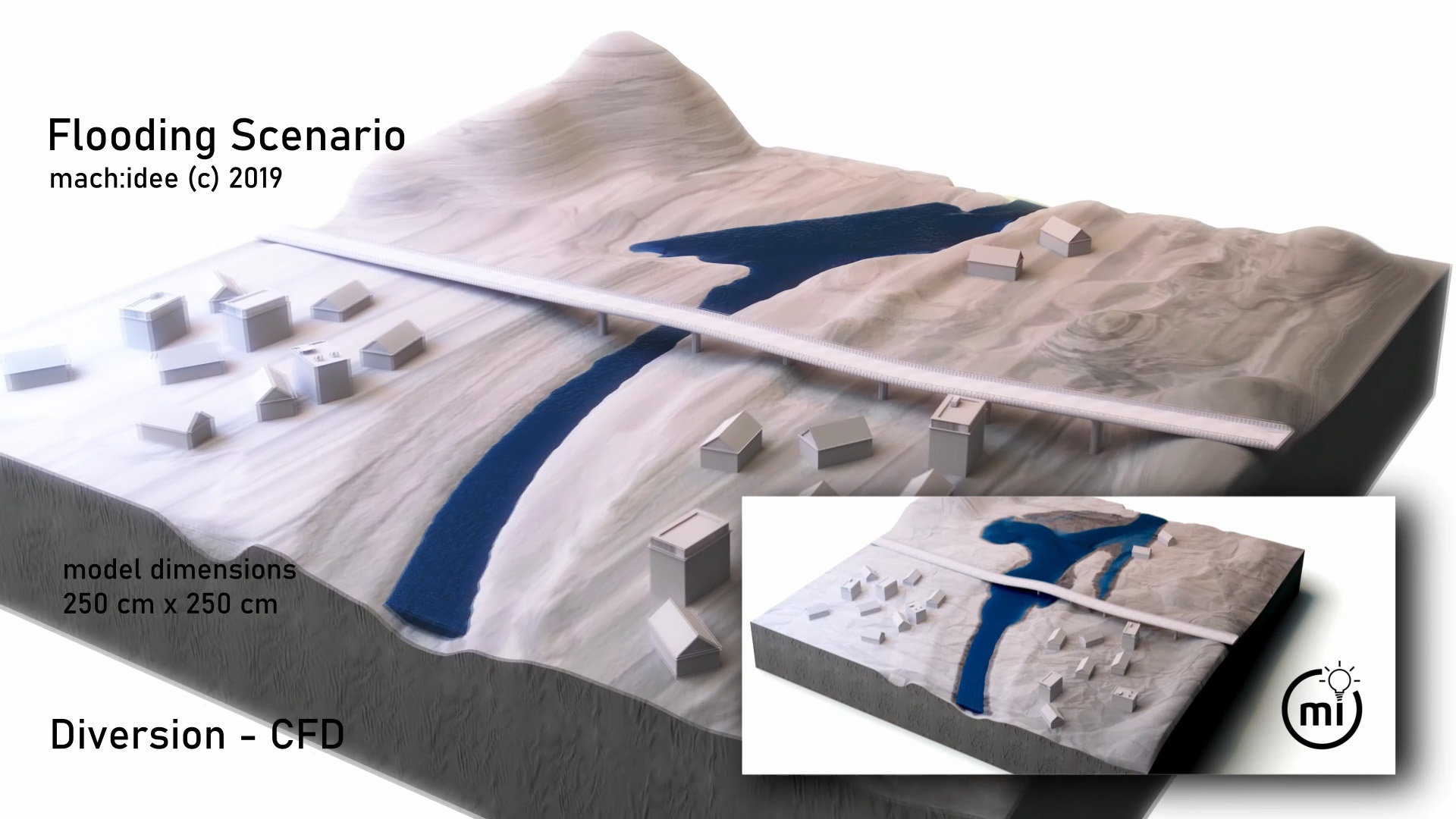
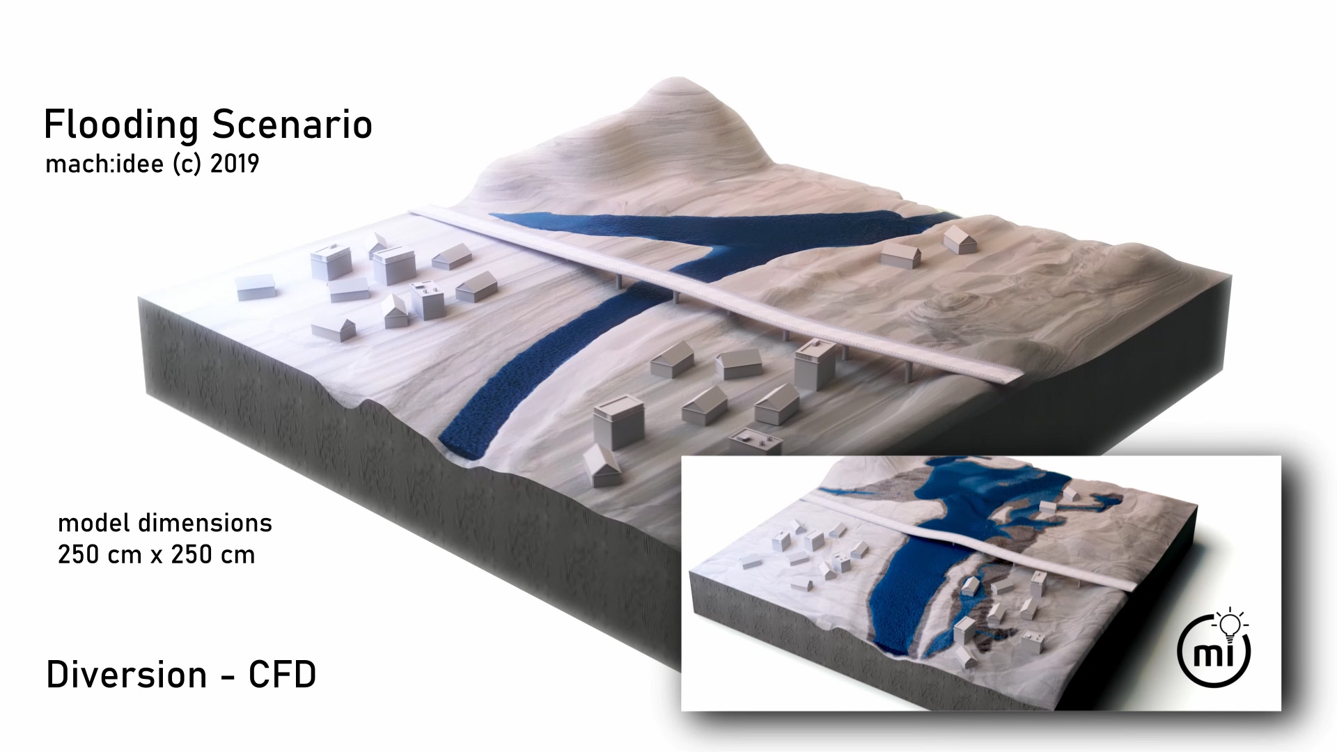
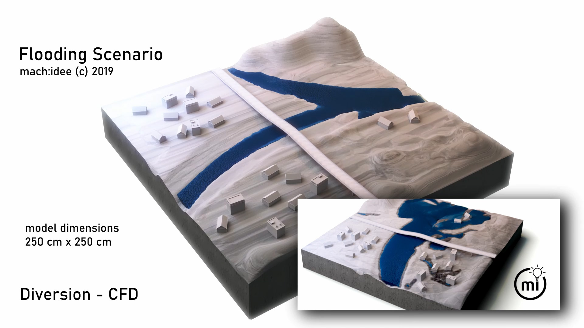
Flooding and its effects in the model
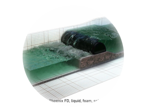
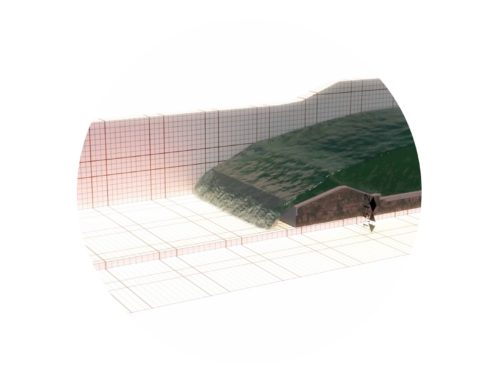
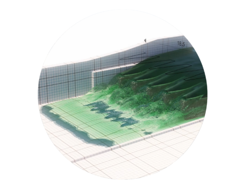
Floods – causes are e.g. heavy rainfall events and the resulting increase in surface runoff, the sealing of surfaces and the risk of water bodies (channels) overflowing. A virtual regional model is used to show the effects of flooding caused by a flood event. If diverting a river is possible, this can prevent damage caused by flooding.
Many thanks to Roland Hollenstein for the discussions on the topic (https://www.nrpag.ch/)
The virtual regional model was created using 3ds max 2018, and the fluid simulation was calculated using the CFD plug-in PhoenixFD.
The size of the regional model area is 250 cm x 250 cm, polygon count of the model: 197,660, render engine Vray 4.0 Next, dimensions of the computational grid: 241 cm x 241 cm, number of grid elements: 6,683,520, determination of velocity (v), foam, splash, wetmaps, open discharge conditions (no build-up within the system).
Duration of animation 40 seconds.
The regional model was created as part of a test series for various fluid solvers in 3ds max using PhoenixFD.